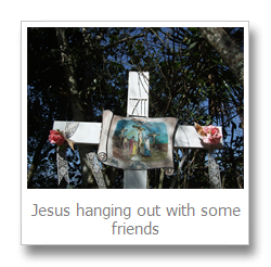
Today I climbed the hill. I’d actually seen this patch of green in the middle of the town on a map before I came and planned to walk through it from the bus to get to Shayla’s.
After my Balagan in Puebla I ended up getting a taxi. Thankfully! Because this hill is 80m high! Note for next time, use a map with contour lines.
When I left the house I had about an hour and a half. I hadn’t yet decided whether to go to the river or the hill so I just walked. It soon became apparent that the river would be harder to get to, houses and houses in progress lined the hillside between me and her.
So I looked up at the giant leafy mound to my left and pictured the map I had carefully studied last week. None of it applied – I was on the other side and heading to the top rather than Shayla’s house.
A few minutes wandering lead me up a dusty lane of run down houses to a small staircase made of large stones. At the top I followed the path. Of course I didn’t know it was the path at the time, but left went down hill and right headed upwards so it was a good enough presumption.
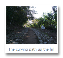
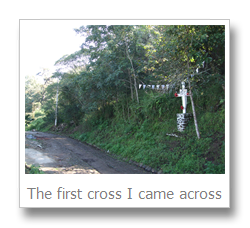
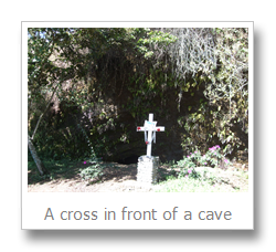
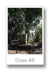
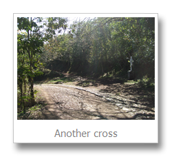
I say path, it was actually a road with two lines of cobbles for tyres and a strip of dirt between to catch peoples litter. The first interesting thing I noticed about this path was the abundance of crosses. Now Mexico is a religious place by any standards, but this was getting extreme. Three crosses later I took a closer look and noticed they were depicting Stations of the Cross, excellent! Now I have some idea of how close to the top I am (presuming number 14 was at the top). I was at number 8.
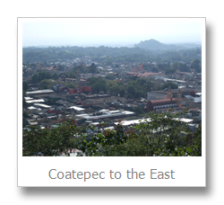
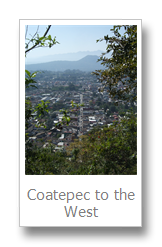
Some wanderings later, and after feeling very suspicious for trying to catch a glimpse of the school I could hear through the trees, I was presented with a decision. The arrow to the left said something in Spanish, the one to the right something else in Spanish. I thought I’d have my cake and eat it and headed right first. A good choice, a few meters up the road was a viewing point with an almost areal view of the city dissolving into the countryside and eventually fading into misty mountains.
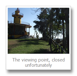
After a few awe filled gazes, and a few more after I put my glasses on, I headed off. The path which continued round was a decline, so I went back to the sign and took the left path, which turned out to be a grass covered shortcut to the top. Score! At the top there’s a viewing point to get a bit higher, but it was closed and a ring of trees surrounding the plain actually makes the view less exciting. That said, while gazing out seeing a monstrously big and snow capped mountain slowly fade out of the mist on the horizon isn’t something you experience every day!
